National Weather Service provides predictions, worst case scenarios for Monday ice accumulations
Published 4:37 pm Friday, February 12, 2021
|
Getting your Trinity Audio player ready...
|
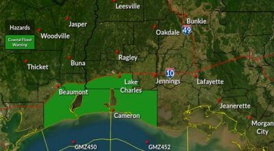
The National Weather Service announced that early Sunday morning weather conditions could cause elevated roads and bridges to be hazardous to travel, along and north of the U.S. 190 corridor in Louisiana and Texas.
Warning Coordination Meteorologist Roger Erickson said the more significant winter problem is the ice storm expected Monday.
The highest risk area is central Louisiana, but east Texas, Southeast Texas, southwest Louisiana and south central Louisiana could also see significant problems, depending on where the heaviest icing sets up.
Here is the first forecast of ice accumulations across the region:
- East Texas: 0.10″
- Southeast Texas: 0.10″
- Central Louisiana: 0.25″
- Southwest Louisiana: 0.10″
- South Central Louisiana: 0.10″
The worst case scenarios for the region are as follows:
- East Texas: 0.50″
- Southeast Texas: 0.25″
- Central Louisiana: 0.50″
- Southwest Louisiana: 0.50″
- South Central Louisiana: 0.50″
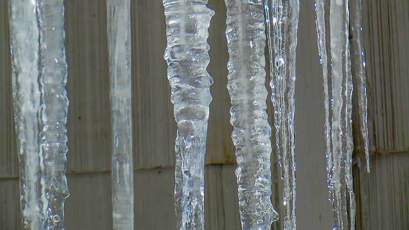
Ice accumulations of 0.10″ means dangerous travel conditions.
Traveling is not recommended.
Isolated power outages due to tree branches and power lines will be possible.
Ice accumulations of 0.25″ means traveling will be nearly impossible. Widespread power outages due to falling tree branches and power lines can be expected.
For additional reporting, check out https://www.panews.com/2021/02/13/time-is-now-to-prepare-for-cold-weather/