City of Port Arthur, National Weather Service share severe weather concerns for Thursday
Published 1:26 pm Thursday, May 2, 2024
|
Getting your Trinity Audio player ready...
|
The National Weather Service has issued a Flash Flood Warning for Jefferson County until 4:45 p.m. Thursday.
At 11:43 a.m. “Doppler radar indicated thunderstorms producing heavy rain across the warned area, Between 2 and 6 inches of rain have fallen. Additional rainfall amounts to 1 to 3 inches is possible in the warned area. Flash flooding is already occurring.”
According to the National Weather Service, Port Arthur is one of the areas that could experience flash flooding.
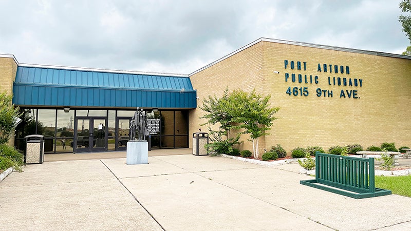
The Port Arthur Public Library and the Bob Bowers Civic Center are closed due to a power outage.
Streets are beginning to flood within the City of Port Arthur.
Port Arthur Police are asking drivers to avoid Jimmy Johnson Blvd. from 9th Avenue to Twin City Highway & 9th Avenue from Turtle Creek Drive to Jimmy Johnson Blvd. There is water over the road, and several stalled vehicles at this time.
All streets around this area are prone to flooding as the rain continues.
Gusty winds could knock down tree limbs and blow around unsecured objects. Minor damage to vegetation and outdoor objects is possible.
Locations impacted include… Port Arthur, Orange, Nederland, Groves, Port Neches, Sabine Pass, Johnsons Bayou, La Belle, Port Acres, Winnie, Stowell, and Sea Rim State Park.