FRIDAY MORNING UPDATE: Freezing rain reported in region; look out for road conditions, DPS says
Published 9:14 am Friday, February 12, 2021
|
Getting your Trinity Audio player ready...
|
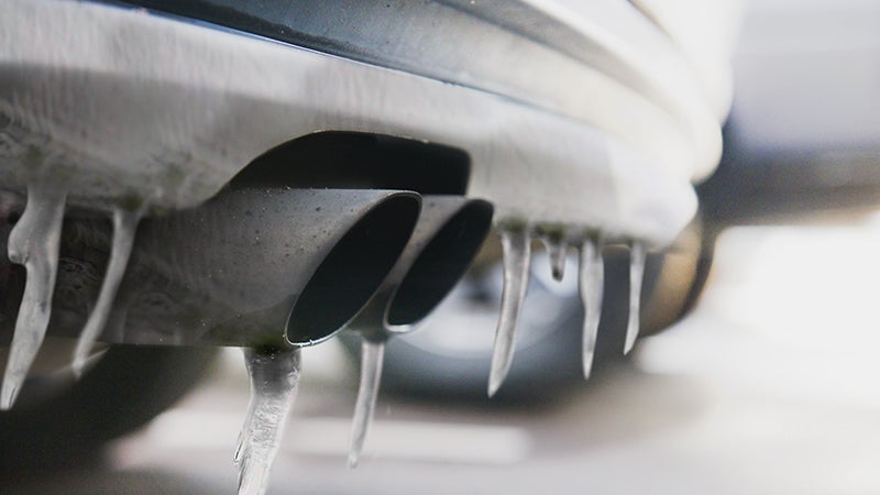
Some patchy, light freezing rain is falling Friday morning in parts of central Louisiana.
According to the National Weather Service, as the temperature rises above freezing Friday, the freezing rain threat will end.
Warning Coordination Meteorologist Roger Erickson said there is a 20 to 40 percent chance for precipitation early Saturday morning and Sunday morning.
“However, with temperatures 32 F or below in east Texas and central Louisiana, any precipitation will be freezing rain,” he said. “No significant accumulations are expected, but some elevated roads and bridges could become icy.”
The more significant winter precipitation event is expected on Monday.
“This will be a mixed bag of rain, sleet and freezing rain,” Erickson said. “It is too early to say with any certainty how much ice we will see, or exactly who will see it.”
The National Weather Service will provide updates through the weekend, which will be shared by panews.com as they arrive.
Road concerns
The Texas Department of Public Safety (DPS) is urging Texans along the Gulf
Coast to prepare for severe winter weather.
Dangerous winter weather can come in the form of freezing precipitation and ice. During icy conditions, roads, bridges and elevated structures will likely be impacted. DPS urges motorists to pay attention to quickly changing weather conditions and prepare for possible road and bridge closures.
Citizens should stay turned to local television and radio stations for weather and traffic updates.
For current road conditions, visit DriveTexas.org.