National Weather Service outlines bad Saturday weather for Port Arthur, Mid County
Published 12:00 pm Friday, September 2, 2022

|
Getting your Trinity Audio player ready...
|
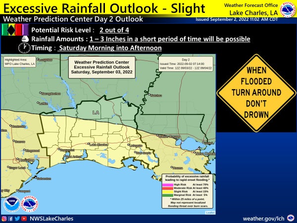
Port Arthur and all of Southeast Texas motorists should be aware of a heavy rainfall potential on Saturday.
(According to the National Weather Service)
According to the National Weather Service, tropical-like moisture will interact with an upper level disturbance and a stalled surface frontal boundary for high chances of showers and thunderstorms, starting Saturday morning and continuing off and on into Saturday afternoon.
Rainfall rates of 1 to 3 inches per hour will be possible in a short period of time with the stronger storms.
Therefore, flooding of urban poor drainage areas and other low lying areas will be possible where the high rainfall rates occur.
A Slight Risk Potential (level 2 out of 4) exists for Southeast Texas, as well as southwest and south central Louisiana.
The bad weather is expected to start during the morning hours of Saturday near the coast and move inland during the late morning into the afternoon.