NWS severe weather update for Wednesday, Thursday
Published 3:28 pm Tuesday, April 23, 2019
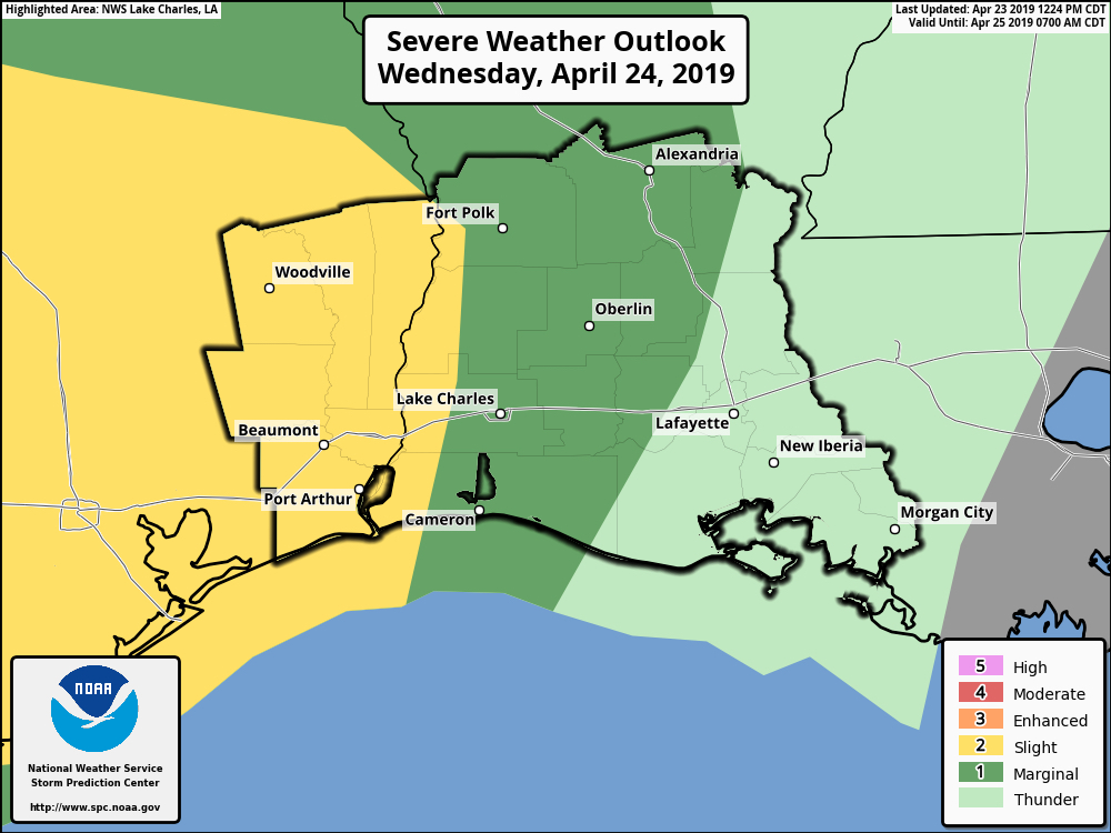
From the National Weather Service in Lake Charles:
The Storm Prediction Center is highlighting a marginal to slight risk (5-15%) for strong to severe storms, beginning late Wednesday night and continuing through midday Thursday. A line of storms is expected to be moving west to east across our region. Between midnight and 6 a.m., the line of storms will be in southeast Texas. Between 3-9 a.m., the line will be in southwest and central Louisiana, and between 6 a.m. and noon, it will be in south central Louisiana.
Damaging winds and an isolated tornado are the primary threats.
In addition, there is a threat for heavy rain. Between 1 to 3 inches of rain is expected, with locally higher amounts. Expect to see street flooding during periods of heavy rain.